From Camp and the Slieve Mish Mountains to Dingle harbour, Atlantic beaches and the Gaeltacht villages, discover the communities and landscapes of Corca Dhuibhne.
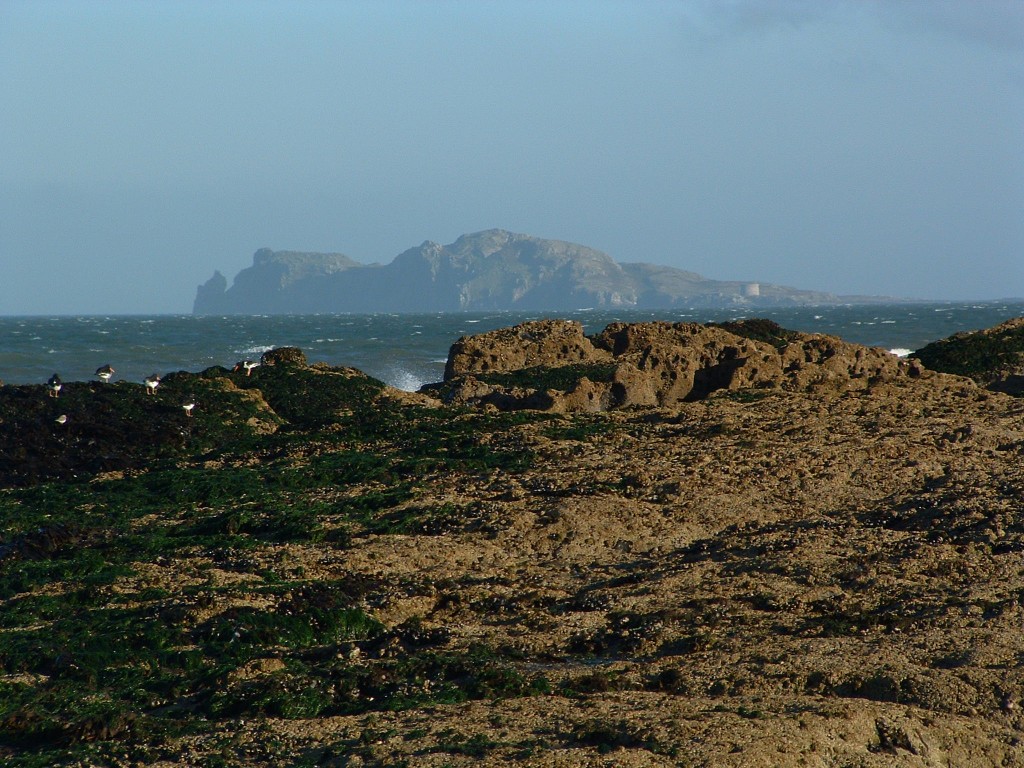
Around the peninsula
Begin with a place, then follow the people, landscapes and stories that connect it to the wider peninsula. These links lead to our local guide, community websites and the Dingle Peninsula Tourism Alliance.
Camp / An Com
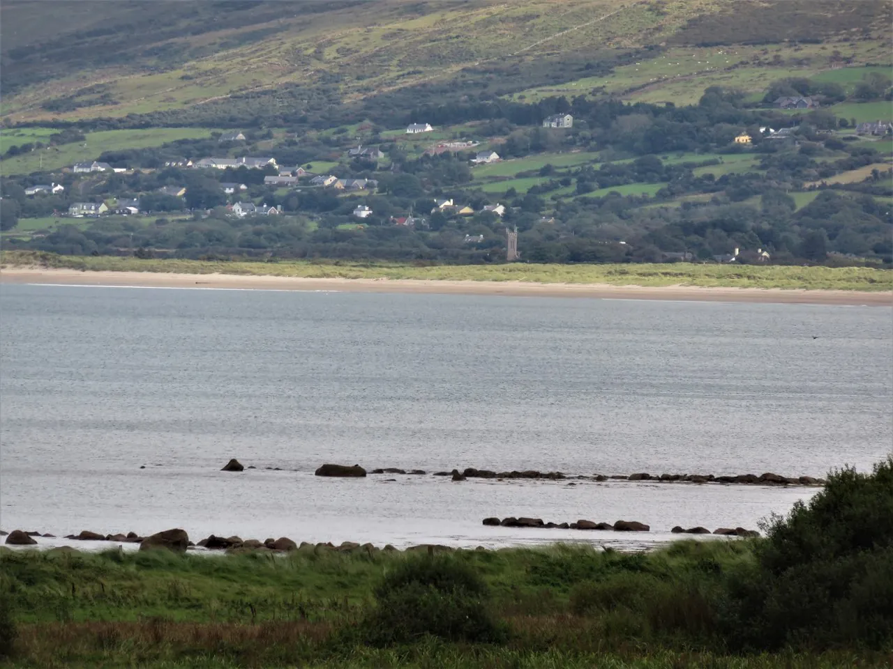
At the meeting of mountains and coast, Camp is a starting point for exploring the Slieve Mish foothills, old roads and local stories. Our Camp guide brings together village life and the Sheep Fair tradition.
Annascaul / Abhainn an Scáil

A village of mountain walks, local creativity and remembered journeys. Annascaul is associated with Antarctic explorer Tom Crean and sculptor Jerome Connor; its community website is a useful starting point for village news and visitor information.
Castlegregory & the Maharees

On the north coast, Castlegregory and the Maharees connect village life with Brandon Bay and the surrounding coastal landscape. The community visitor website gathers information on places to stay, activities, food and local events.
Inch / An Inse
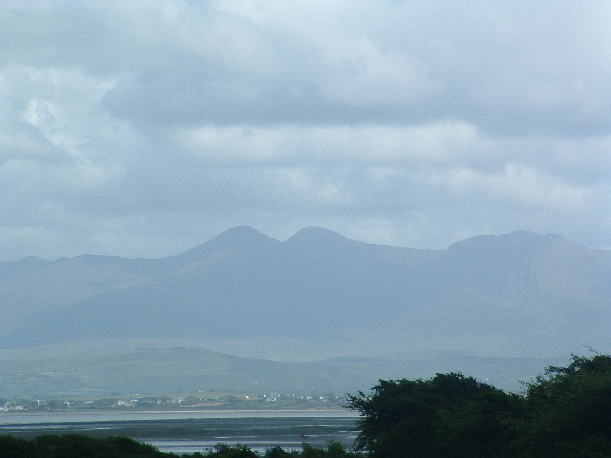
Inch opens onto the southern side of the peninsula, with views across Dingle Bay towards Iveragh. Explore the beach and surrounding area through the neighbouring Annascaul and Inch community guide.
Lispole / Lios Póil
Between Annascaul and Dingle, Lispole’s story includes the old railway viaduct and the coast at Minard. The Tourism Alliance guide introduces the village, Minard Castle and nearby heritage sites.
Dingle / Daingean Uí Chúis
A harbour town with a long maritime history, Dingle brings together food, music, shops and galleries. Begin with the peninsula’s Tourism Alliance guide for an introduction to the town and its local heritage.
WEST KERRY HERITAGE
Gallarus Oratory / Séipéilín Ghallarais
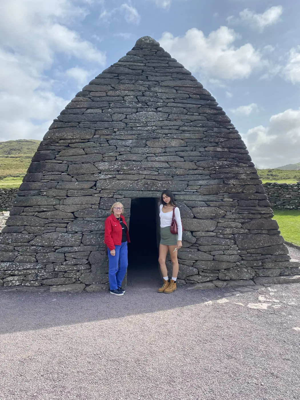
A small stone church with a remarkable presence, Gallarus Oratory looks towards Ard na Caithne / Smerwick Harbour, with Mount Brandon behind it. Its curved, boat-like form and intact corbelled roof make it a distinctive place to encounter the peninsula’s religious heritage.
The date of its construction remains uncertain. Rather than assigning it a single year, Heritage Ireland describes the debate around its origins and the careful stonework that has helped the building endure.
Make Gallarus a separate stop as you explore the western peninsula. The national monument has free public access via the OPW right of way; the privately operated visitor centre offers additional facilities for a charge. Check current visitor information before travelling.
The Gaeltacht — a living language and culture
The Gaeltacht is part of the peninsula’s everyday life, overlapping with several villages and districts rather than forming a separate destination. Irish — often called Gaelainn locally — connects place names, conversation, music and storytelling.
In the west, discover Ceann Trá / Ventry, Baile an Fheirtéaraigh / Ballyferriter, Dún Chaoin / Dunquin and Baile na nGall / Ballydavid. The wider Corca Dhuibhne Gaeltacht also includes places such as Lios Póil and the northern communities of An Clochán and Bréanainn.

The Blasket Islands’ literary heritage offers another way into the language and stories of this coast. For an introduction to language, cultural centres and learning opportunities, follow the Tourism Alliance’s Gaeltacht guide →.
A landscape of stories
Known as Corca Dhuibhne, this corner of County Kerry brings together a striking coastal landscape and a rich tradition of local stories. The original account on this site connects the name with the goddess Duibhne in Irish mythology.
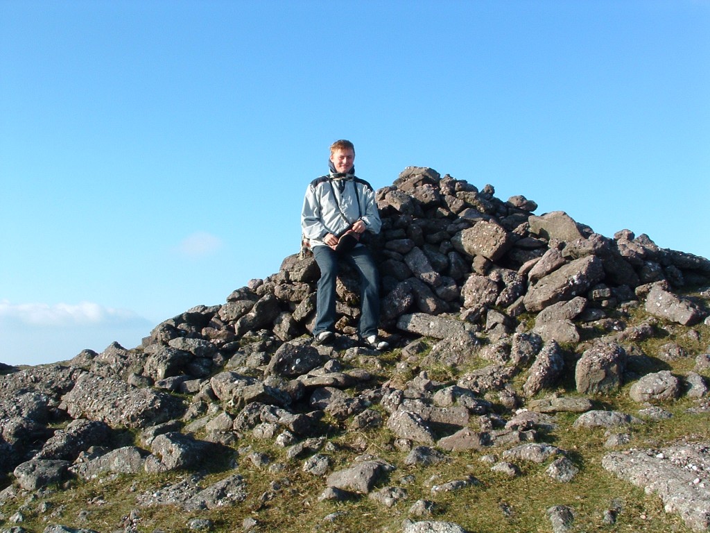
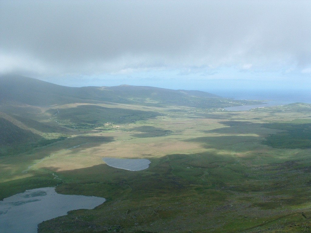


A landscape with many layers
Around Camp, the history of settlement can be followed through very different kinds of evidence. At Killelton, a stone oratory and traces of earlier structures mark an early Christian site on the lower slopes above Tralee Bay. At Kilgobban, the church dated 1824 and the recorded grave inscriptions connect the area with later parish and family history.
Gleann na nGealt holds another strand: oral traditions associated with a well, a stone and the people who kept the stories alive. Brigid O’Connor’s accounts connect those traditions with her family’s life in the valley. The archive preserves that remembered history alongside photographs, poetry and descriptions of local walks.
Begin with a named place rather than a broad legend. The Kilgobban and Killelton guide links to official heritage records; the Gleann na nGealt account identifies its local storytelling context.