SHEPHERD’S FARM WALK · GLEANN NA NGEALT
Walk the land.
Hear its stories.
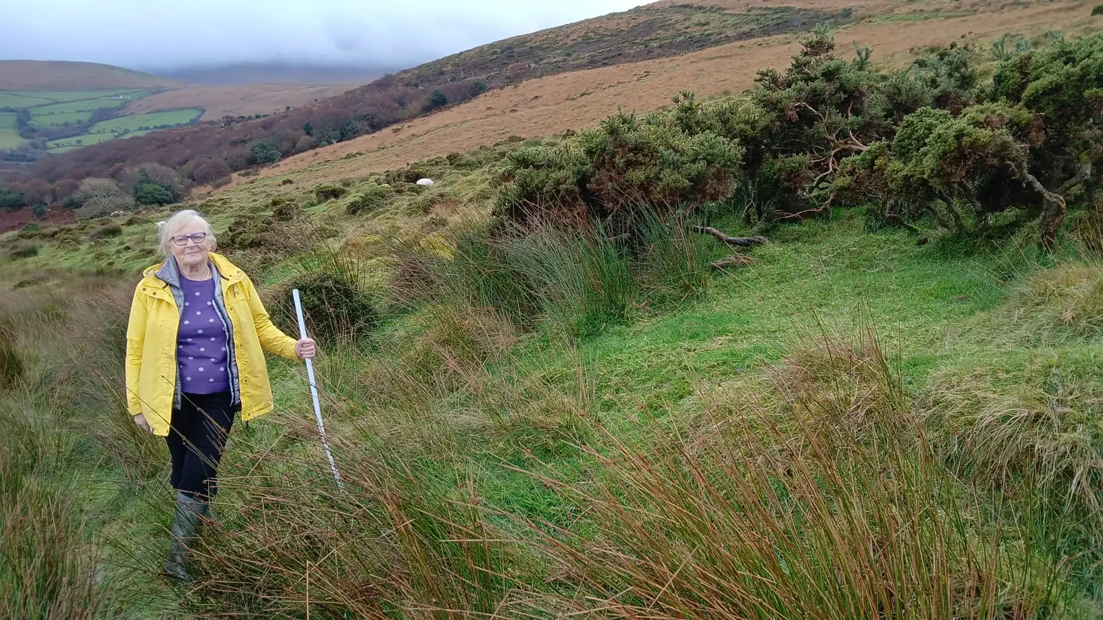
Come walk with Brigid through her organic family hill farm — a landscape of sheep, valley traditions and West Kerry views.
Around 2 hours · Near Camp, Dingle Peninsula
No dates currently displayed on Airbnb. Open the listing and choose “Message Brigid” to ask about a visit.
A PERSONAL INVITATION
For a little while, be part of the valley.
There is another way to discover the Dingle Peninsula: on foot, in the company of someone whose everyday life is rooted here.
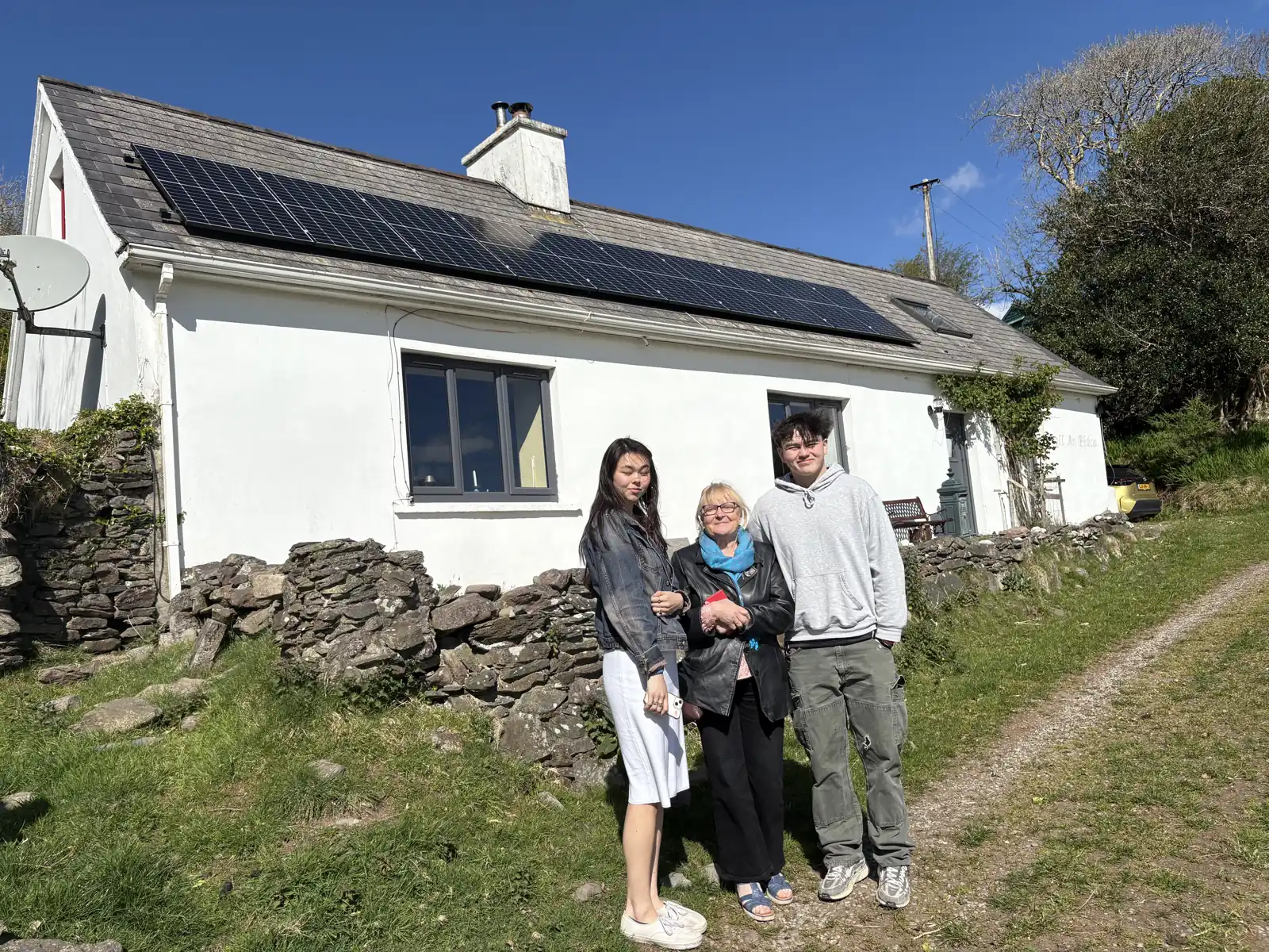
In Gleann na nGealt, the view is only the beginning. As you walk the family farm, Brigid shares the connections between this land, its farming life and the stories passed through the valley. This is a working place, with a life beyond your visit.
THE FARM, AS IT IS
Sheep, grass and the changing seasons.
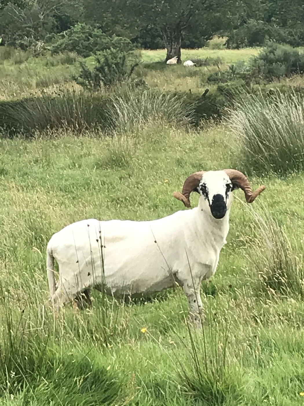
Meet the sheep and take in the natural surroundings of the organic hill farm. Wild flowers, trees and seasonal colour give the walk a changing character.
The landscape is part of the story. So is the work of caring for it, and the relationship between farming and the valley’s habitats.
STORIES HELD IN THE LAND
Look a little closer. Listen a little longer.
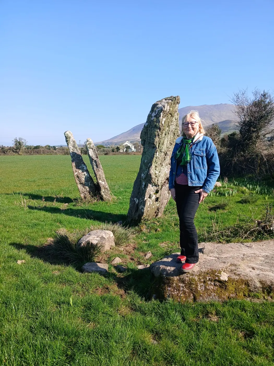
The standing stone opens a conversation about earlier settlement. The name Gleann na nGealt leads into the valley’s well, stories and traditions. Brigid brings these strands together with accounts of farming and how life here has changed.
Hear about practices such as cutting turf and gathering seaweed for the land, alongside the work of farming today. These are stories to encounter in their setting, with time to ask questions.
YOUR HOST
Walk with the person who farms the land.
Brigid O’Connor is an organic farmer and Farming for Nature Ambassador. Her approach centres on working with nature and caring for the farm’s habitats.
On the walk, farming knowledge and storytelling meet. You are invited to see this corner of West Kerry through her connection to it.
Meet Brigid & read our story →
Ask Brigid about dates ↗ (opens Airbnb in a new tab)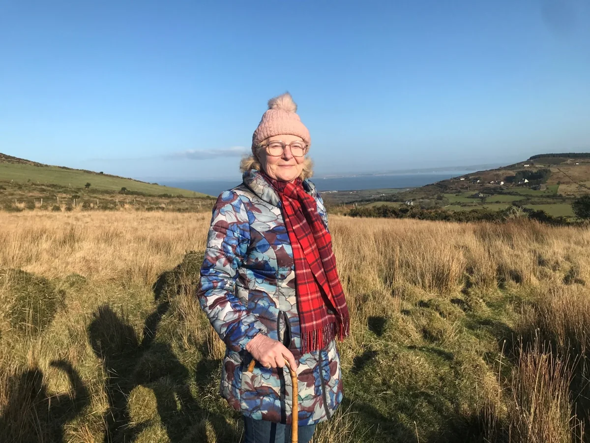
WORDS FROM GUESTS
“We loved the intimate experience of this family sheep farm”
Lisa · Airbnb · August 2026
Read the full reviews on Airbnb ↗ (opens in a new tab)“Brigid was a fantastic hostess.”
JoAnn · Airbnb · August 2026
BEFORE YOU COME
Plan your farm walk
- Duration
- Around 2 hours
- Location
- Gleann na nGealt, near Camp
Dingle Peninsula · V92 FN52 - Activity
- Moderate · beginner skill level
- Ages
- 2 years and over, according to Airbnb
- Accessibility
- Discuss your needs with Brigid before booking.
- Dates & price
- Message Brigid through Airbnb for current arrangements.
A few details to confirm with your host
Footwear and clothing, weather arrangements, the exact meeting point, parking, language, group options and seasonal availability are awaiting confirmation. Ask Brigid before making your plans.
Duration is supplied by the host’s brief. Activity, ages, meeting area and review figures were checked against Airbnb on 6 October 2026. Confirm current availability, prices and cancellation terms on Airbnb.
COME WALK THE LAND WITH US
Don’t just drive through West Kerry.
Walk into it.
Spend a couple of hours with Brigid, meet the sheep and discover the stories held in this valley.
Book Your Farm Walk on Airbnb ↗ (opens in a new tab)Looking for a date? Choose “Message Brigid” on the listing.
Regional walking archive
Old roads, mountain paths and stories rooted in the landscape. Explore the walks and heritage of Camp, the Slieve Mish Mountains and the wider Dingle Peninsula.
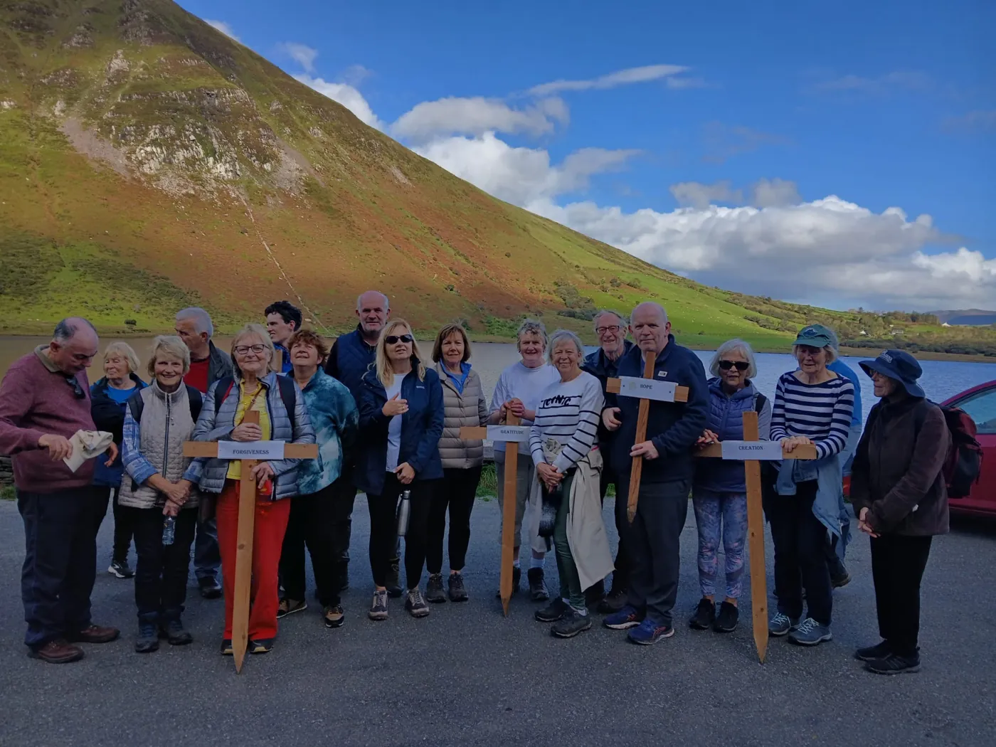
These local accounts bring together walking routes, place names, history and folklore from the West Kerry archive. Route descriptions reflect the original accounts; check current access, waymarking and conditions before setting out.
Explore the walks & stories
The Dingle Way Camino – Slí Chorca Dhuibhne
This is a 153km circular walking trail.
The walk begins in Tralee, overlooking Tralee Bay, and then swings southwest across the peninsula taking in exquisite scenery heading out to Camp on the slopes of Caherconree mountain once the seat of Curai Mac Daire High King of Munster, looking down on Dingle Bay while you ramble inland to Annascaul, birthplace of famous Antarctic explorer Tom Crean and then on to Dingle Town, home to Fungi, the Dingle Dolphin.
From Dingle the route continues west around Slea Head to Dunquin with magnificent views of the Historic Blasket Islands to the west and beautiful coastal cliffs to the north. Then the trail turns back along the north coast of the peninsula, past Smerwick Harbour, and continues on below the massive Brandon Mountain, Ireland’s second highest peak and named after St. Brendan the Voyager. Some say St. Brendan discovered America.
A high pass will bring you to the village of Cloghane, east of Brandon, and then the route continues along coastal beaches to the lovely village of Castlegregory and the Maharees Islands , fishing village and world renowned surfing grounds and back to Camp, ultimately the trail brings you back to the town of Tralee, home to the Rose of Tralee Festival.
The Kerry Camino Dingle Way Walk
A New dimension to The Dingle Way is The Kerry Camino, travelling the same Dingle Way route inviting you to “walk in the footsteps of St. Brendan, the Navigator”, as a walker or pilgrim, on a journey of contemplation and fun. During the years 512-530 AD St Brendan set out from Kerry to spread the Word of God along the coast of Ireland, Scotland, Wales and Brittany. Some believe that St. Brendan was the first European to reach America.
Sliabh Mish
Walk the mountain peaks from Tralee to Camp.
Sliabh Mish is named after Mish the Milesian Princess who was slain in the battle of Sliabh Mish, a great battle in prehistoric times between the early settlers, the Tuatha De Dannann and the Milesians, who were reputed to have come from Western Europe.
Caherconree Climb
The majestic mountain Caherconree, once the seat of the High King of Munster Curoi Mac Daire, stands 2715 ft. above sea level. Curoi Mac Daire, High King of Munster and magician was believed to possess Godlike powers. Even when abroad, he could put the fortress spinning and turn it round at night so that the gateway would be turned in, to prevent invasion from the sea. Cuchulainn of the Red Branch Knights of Ulster is said to have killed Curoi on the mountain slopes in a fight over the Welsh Princess Blaithnaid. At the top of the mountain the remains of one of Ireland’s most striking inland promontory forts is still to be seen.
The original account describes Caherconree as a climb for the hardy walker.
Cuculainn
Leader of the Red Branch Knights of Ulster became involved in a tragic love triangle with Curoi Mac Daire. Cuchulainn fell in love with Curoi’s wife, Blathnaid, daughter of a Manx Chieftain. Blaithnaid was held in captivity in his fortress in Caherconree, when she was taken as one of the spoils of a raid on her fathers lands.
Cuchulainn was in love with Blaithnaid and together they planned her escape. When Curoi was asleep Blaithnaid milked her cow into a bottomless bucket. The milk flowing down the mountainside was a sign to Cuchulainn that it was safe to come up to the fortress. Cuchulainn crept up on the sleeping Curoi and killed him and the 2 lovers escaped together.
But the story has a sad ending and Feircheirtne, one of Curoi’s trusted druids followed the pair He caught up with them on a high cliff in Ulster and grasping hold of the fair Blaithnaid jumped off the cliff killing them both.
Sli Gleann na nGealt
The valley of Gleann-na-nGealt can be entered at 2 points – At Scrallagh, 2 miles west of Camp village you can walk into the valley and do a circle coming out at Maum na h-Altora, or indeed you can commence at Maum na h-Altora and do the opposite ring. You can also walk down into the valley through Foillatrisnigh and through Cappaclough and take the beach walk to Upper and Lower Camp.
Tobar na nGealt ( Mad Well) is reputed to have a cure in its waters for madness. Gall the king of France is said to have lost his sanity at the battle of Ventry Harbour and was cured when he drank the waters of Tobar na nGealt.
Maum na hAltora – The pass of the altar, Mass was celebrated here in penals times. Here remains a cluster of megalithic tombs, which are some of the earliest stone structures in the region.
Finglas
The Finglas River still flows down from the mountain to the sea. English Translation – Fionn -White, hence Finglas river, flowing white with milk.
Begin your walk at Camp Junction, climbing the high road up Knockglossmore and head west through Sli Corca Dhuibhne (Dingle Way) cross the road curradubh road, the Tralee/Dingle Railway bridge, scene of the great train crash of 1893 in on your right, follow on and cross the stepping stone at the Finglas River. Local folklore annals tell the tale of the rive running white when Blathnaid milked her cow at the top of Caherconree to give a sign to Cuchulainn that she was alone, hence the name Fionnglas.
Sli an Chama
A looped walk commencing at Camp village, you can complete a circuit taking in any of the roads, bohereens, along the seaside, your options are many and varied depending how long you want to make this walk.
Camp/An Com meaning a gap in the mountains or a fortress is associated with the encampment of Cuchulainn, the Ulster hero of the Red Branch Knights. Along the way you can also visit the grave of the milesian Princess Fas, slain in the battle of Sliabh Mish, the mountain is named after Princess Mish also was killed in the mammoth battle between the Milesian and Tuatha Danann tribes, who were among the first inhabitants of this island.
Gairdin Cu Roi
A ring walk through Curradubh to Beheenagh and Bothar na gCloch circling round the top of the road down through Kilteenbane and Coole to the beach and heading east to exit at Kealode, on the Tralee side of The Junction Bar.
There are no signs of the remains of the Geraldine Castle or the Glandine Castle reputed to be built in medieval times in Upper Camp. Some local people will know the site of the Castle in Upper Camp where a farmer discovered a large underground cellar when ploughing the field over 50 years ago. Camp Old School built in 1882 is on your route next to St. Marys Catholic Church built 1839, worth calling in to see.
Dingle Railway Line 1891-1953
The remains of the Dingle Railway line winds up and down hill through this magnificent part of the peninsula. There were 3 railway stops in Camp. Camp Junction and Upper Camp and at the top of Gleann na nGealt. The water tower still remains at The Junction, where the train was refuelled before it made its way westwards, Climbing the heights of Gleann-na-nGealt” like an old man full of tears (Poem -The Dingle Train by Ted O Donnell).
Sli Bothar na nGloch
Bothar na nGcloch links the Dingle and Iveragh Peninsula